martin, smith and beichter

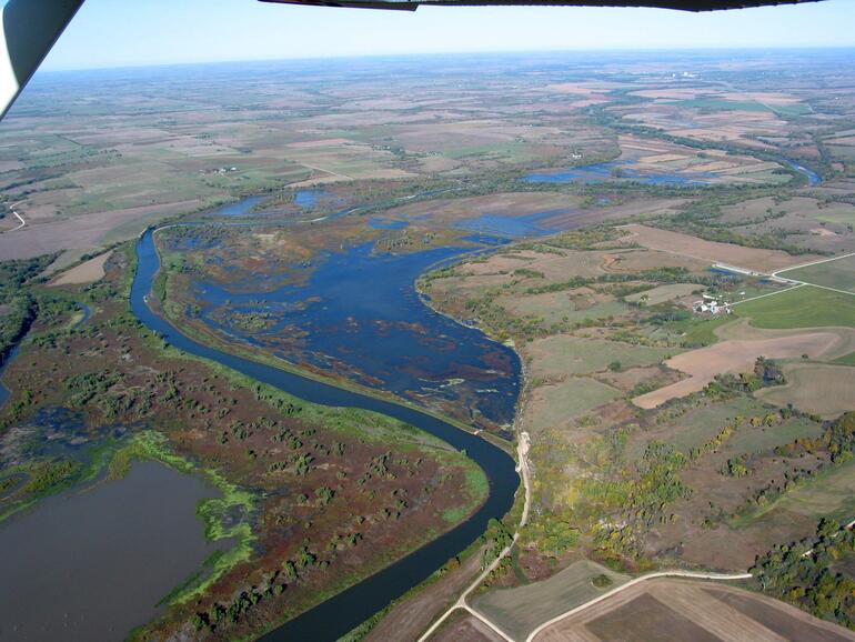
This is an aerial photo showing Smith Bottom, Beichter and Martin Bottom. The largest wetland in the photo is Smith Bottom and it contains approximately 460 acres. The river wraps around the western edge of this wetland. The wetland just west from Smith Bottom is Beichter and it has a little island in it. The wetland north of both of these is Martin Bottom. It is all cropland totaling approximately 180 acres when clear full. There is a stationary pump located directly between Beichter and Martin along the Republican river that is used to fill both Martin and Beichter.


