Smoky Hill/ Kanopolis Wildlife Area

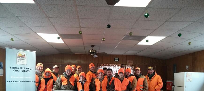
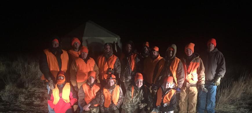
Thanks to the sponsors, mentors, and volunteers that made this hunt possible!

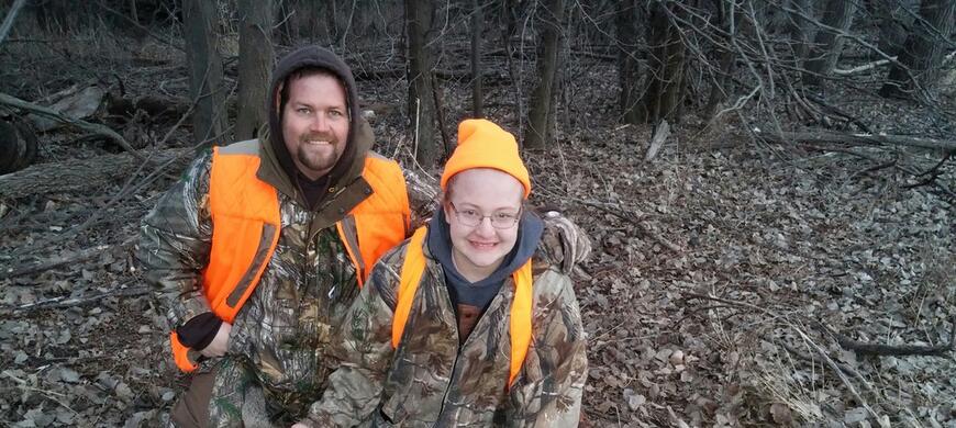
Congratulation to the youth hunters on their 1st deer!

Congratulations Mariah on harvesting your first deer!
Click on "News" link above for Smoky Hill Wildlife Area refuge boundary maps
Centrally located on Kanopolis Reservoir and managed by the Kansas Department of Wildlife and Parks (KDWP), Smoky Hill Wildlife Area consists of 4180 acres of land and 885 acres of water. Kanopolis Reservoir covers approximately 3000 acres. The entire US Army Corps of Engineers property extends along the Smoky Hill River for over 15,000 acres.
Hunting
The wildlife area is open to public hunting with the exception of the refuge which is closed September 1 - January 31. Hunting pressure is generally moderate, but can be very high during opening weekends of firearm deer, spring turkey and upland bird seasons. Whitetail deer, turkey, and upland bird are popular game species. Tree stands may be placed on the area 14 days prior to the season and removed within 14 days after the season. Upland hunters find pheasants and quail in the grassy expanses and brushy draws. Prairie chickens also use the area and adjacent crop fields. Waterfowl frequent the river and backwaters in good numbers as long as the water is open. Canada geese and mallards are common all season long. The weekly waterfowl report is kept updated throughout the fall and winter months.
Hunters frequently use boats, carts and backpacks when accessing the remote areas.
Fishing
Fishing access through the wildlife area is limited. Most anglers access the area from the river or lake via boat. The water in the wildlife area is on the upper reaches of the lake and usually fairly shallow. White bass fishing along the river can be excellent in mid April if river flow is adequate.
Trails
Several multi-use trails originating from Kanopolis State Park lead into the wildlife area. These trails allow hike, bike and horseback riding, and are closed to all but foot traffic from November 1 through January 31 annually. There is no horse access other than through the state park. Hikers can access the trails from the Alum Creek parking lot. The wildlife area trails are closed from Nov 1-Jan 31 annually to limit hunter disturbance and for safety. If riding horseback or on a bicycle, please stay on the maintained trails to prevent disturbance and erosion. There are several gates along the trails-keep them closed and latched. The state park maintains the trails and park with your permit fees. Maintenance on the wildlife area is funded through hunting and fishing licenses as well as federal taxes on sporting goods.
Manager: Scott Thomasson
Area Location: approximately 30 miles west of Salina, or 15 miles east of Ellsworth.
Smoky Hill Wildlife Area surrounds a portion of the upper end of Kanopolis Reservoir.
Smoky Hill Wildlife Area Refuge Boundary
Closed to all access September 1 through January 31 except by special permit only. This map is to be used for general reference only. Signs will mark the actual boundary. Use the posted signs as the true boundary.
This Google earth file is to be used for general reference only. Signs will mark the actual boundary. Use the posted signs as the true boundary.
- No camping is allowed in the wildlife area.
- No vehicle traffic is allowed off the maintained roads.
- No hunting allowed in the adjacent Kanopolis State Park.
- Trash in, trash out policy. Take your trash with you.
Special Features:
A refuge/special hunt area along the river is closed to all activities except by special permit from September 1 through January 31. Limited Special Hunts are allowed on the area through a state-wide drawing. Contact the Smoky Hill Wildlife Area Manager at (785) 658-2465.
Several historical sites exist at Smoky Hill Wildlife Area. Do not disturb petroglyphs or other historical sites
Wildlife viewing and photography opportunities are plentiful. In the winter several bald eagles and ospreys fish the river. Songbirds and wildflowers brighten the landscape throughout the area.
Here is a complete list of Public Land Regulations or you can download the regulation summary.
Centrally located on Kanopolis Reservoir and managed by the KS Department of Wildlife and Parks (KDWP), Smoky Hill Wildlife Area consists 4180 acres of land and 885 acres of water. The reservoir covers approximately 3000 acres of water and the entire US Army Corps of Engineers property extends along the Smoky Hill River for over 15,000 acres.
- Type of Facility: Parking Lot
- Location of Facility: 38.653311 -98.024821
- Click for more information
- Type of Facility: Parking Lot
- Location of Facility: 38.638670 -98.055067
- Click for more information
- Type of Facility: Parking Lot
- Location of Facility: 38.672048 -98.045255
- Click for more information
- Type of Facility: Parking Lot
- Location of Facility: 38.705504 -98.039332
- Click for more information
| Waterfowl numbers | Several thousand Canada and light geese around reservoir on private lands; limited public lands use |
| Water level | reservoir is at winter conservation level |
| Hunting conditions | Near peak numbers in region |
| Comments | Refuge is CLOSED to all access from September 1st through January 31st. Teal Season - Low Plains September 14, 2024- September 29, 2024 Duck Season - Low Plains Late Zone October 26, 2024 - December 29, 2024 and January 18-26, 2025 Youth Weekend, Duck and Goose October 19-20, 2024 Goose Season CANADA GEESE October 26-27, 2024 and November 6, 2024 - February 16, 2025 WHITE-FRONTED October 26, 2024 - December 29, 2024 and January 25 - February 16, 2025 LIGHT GEESE October 26-27, 2024 and November 6, 2024 - February 16, 2025 Sandhill Crane Season - Central Crane Zone November 6, 2024 - January 2, 2025 LIGHT GOOSE CONSERVATION ORDER February 17 - April 30, 2025 |


