


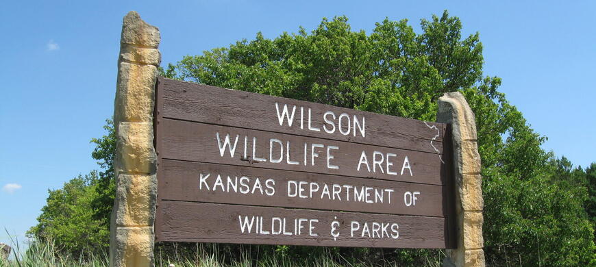
Wilson Wildlife Area
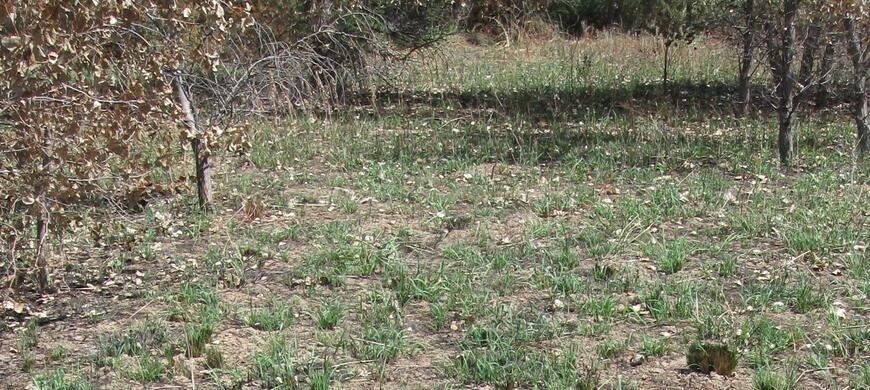
Picture taken 30 July 2010; 15 days post burn
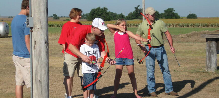
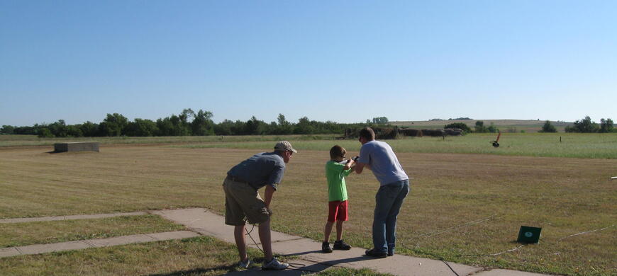
FHSU Shooting Sports team members instruct a young man how to properly shoulder a shotgun.


Click on the "News" or "General Information" links above for 2021 Dove Field information, refuge dates, contact info, and other current events.
ATTENTION: The refuge at Wilson Wildlife Area will be closed to all activities Sept 1 - Jan 31 except by special permit.
Click HERE for Wilson Lake brochure map
Click on "News" link above for Wilson Wildlife Area refuge boundary maps
Wilson Wildlife Area is located in the scenic Smoky Hills of northcentral Kansas and is on the upper end of 9,000 acre Wilson Reservoir. The 8,069 acre public hunting area is made up of 5,000 acres of rugged rolling hills of native prairie, approximately 2,000 acres of cropland, and 1,000 acres of riparian timber along the Saline River, Cedar Creek, Turkey Creek, and Elm Creek.
Area management focuses on providing a quality experience for visitors, and managing wildlife and wildlife habitats for optimum hunting, fishing and outdoor recreational opportunities. Pheasant, quail, turkey, dove, rabbit, whitetail deer, waterfowl, furbearers and many songbirds and non-game wildlife inhabit or pass through and use the area.
The area has a waterfowl refuge that was established in 1996. Hunting opportunities are fair for deer, turkey, waterfowl, and upland birds. The area receives heavy hunting pressure during season openers and can provide less crowded conditions later in the hunting seasons.
Information shelters on the area and the Wilson Area Office have more information available.
Area Manager: Scott Thomasson

There will be 2 managed dove fields at Wilson Wildlife Area in 2022. Both fields are planted to sunflowers. Portions of the fields will be mowed prior to dove opener.
Field 1: Open to All Hunters – Sunflowers (11 ac)
This field is located on the South side of Mellard Rd approx. ¼ mi west of 193rd Rd. Field is planted to sunflowers. Strips will be mowed in sunflowers. Sunflower production is poor to fair.
Field 2: Open to all hunters – Sunflowers (6 ac)
From intersection of Mellard Rd and 193rd Rd, go south 1.5 miles and park along road. Field is located east of road. Strips will be mowed in sunflowers. Sunflower production is good.
Below are maps of the entire Wilson Wildlife Area Refuge.
This Google earth file is to be used for general reference only. Signs will mark the actual boundary. Use the posted signs as the true boundary.
The refuge is closed to all access September 1 through January 31 except by special permit only. This map is to be used for general reference only. Signs will mark the actual refuge boundary. Use the posted signs as the true boundary.
- Camping, fires, and off road vehicle use are not allowed on the area.
- No Cliff jumping
Here is a complete list of Public Land Regulations or you can download the regulation summary.
The 8,069 acre Wilson Wildlife Area was made available to the Kansas Forestry Fish and Game Commission under the terms of a license with the U.S. Army Corps of Engineers in 1965.
- Type of Facility: Boat Ramp
- Location of Facility: 38.936369 -98.629865
- Click for more information
- Type of Facility: Boat Ramp
- Location of Facility: 38.961948 -98.723434
- Click for more information
- Type of Facility: Information Center
- Location of Facility: 39.973018 -98.723434
- Click for more information
| Waterfowl numbers | Several thousand Canada and light geese in area. Feeding on private lands. West end is ice covered. |
| Water level | 5 ft low |
| Hunting conditions | Cedar Creek boat ramp is dry and inaccessible; Elm Creek boat ramp is iced up. Best opportunity is field hunting. Always get landowner permission before hunting on private lands. There is no check-in or check-out to hunt Public Lands at Wilson Wildlife Area. |
| Expected hunting success | Near peak Canada and light geese numbers in general region |
| Comments | Refuges are closed Sept 1-Jan 31 to all access except by special permit. This includes land and water refuge areas. Teal Season - Low Plains September 14, 2024- September 29, 2024 Duck Season on Wilson Reservoir - Low Plains Late Zone October 26, 2024 - December 29, 2024 and January 18-26, 2025 Youth Weekend, Duck and Goose October 19-20, 2024 Goose Season on Wilson Reservoir CANADA GEESE October 26-27, 2024 and November 6, 2024 - February 16, 2025 WHITE-FRONTED October 26, 2024 - December 29, 2024 and January 25 - February 16, 2025 LIGHT GEESE October 26-27, 2024 and November 6, 2024 - February 16, 2025 Sandhill Crane Season on Wilson Reservoir - Central Crane Zone November 6, 2024 - January 2, 2025 LIGHT GOOSE CONSERVATION ORDER February 17 - April 30, 2025 |